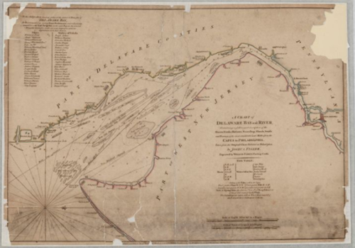
A Chart of Delaware Bay and River, Containing a full & exact description of the Shores, Cree
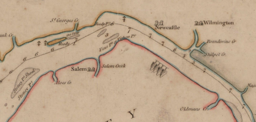
A Chart of Delaware Bay and River, Containing a full & exact description of the Shores, Creeks, Harbours, Soundings, Shoals, Sands and Bearings of the most considerable Land Marks from the Capes to Philadelphia, 3/12/1776File Unit: Pennsylvania, Delaware, and the Delaware River, 1784 - 1890Series: Civil Works Map File, 1818 - 1947Record Group 77: Records of the Office of the Chief of Engineers, 1789 - 1999Image description: A map of Delaware Bay and River, from Cape May to Philadelphia. The cities and towns are very small compared to their modern-day areas. New Jersey is lightly outlined in red, Delaware in blue, Pennsylvania in gray, and the river in blue. The map is oriented with west at the top of the page. Image description: Zoomed in on the part of the map showing Salem, New Jersey, and Wilmington, Delaware. The cities are represented by small castle-like icons. -- source link
Tumblr Blog : todaysdocument.tumblr.com
#archivesgov#march 12#colonial era#delaware#new jersey#pennsylvania#philadelphia

