After the Flood Control Act of 1928, the US Army Corps of Engineers started to study and alter the n
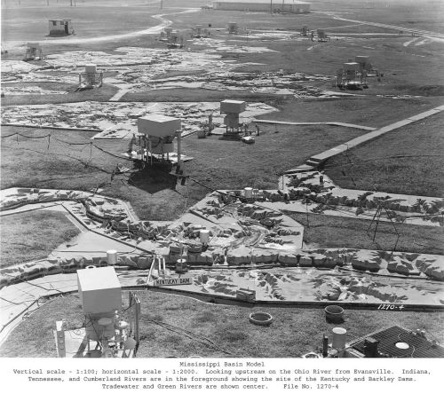
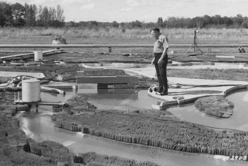
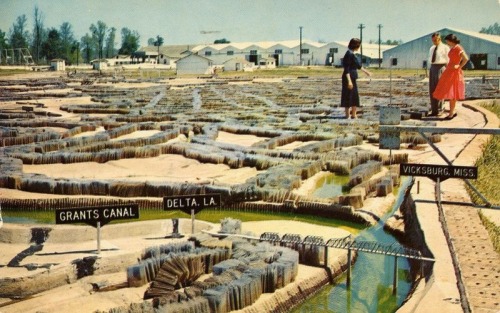
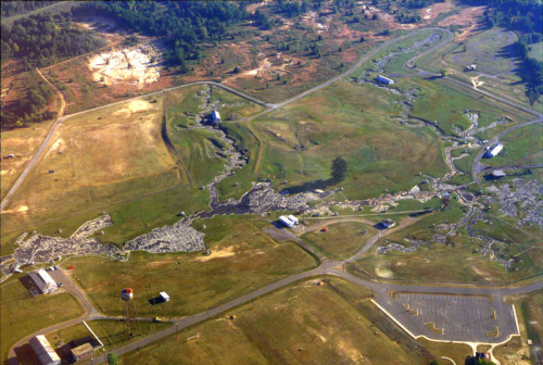
After the Flood Control Act of 1928, the US Army Corps of Engineers started to study and alter the nation’s river systems—the Mississippi especially. As a way to test out their building projects to make sure that they would work, they developed crude models, mere ditches cut in the dirt with water flowing through them.In 1943, the Corps began construction on a model that could test all 1.25 million square miles of the Mississippi River. It would be a three-dimensional map of nearly half of the continental United States, rendered to a 1/2000 horizontal scale, spanning more than 200 acres. It was so big that the only way to see all of it at once was from a four-story observation tower.A staff of six hundred engineers, technicians, and support staff would use the model to simulate past floods, and to figure out what could be changed to achieve different results.As computer models became more accurate—or accurate enough—the Mississippi Basin Model gradually lost its funding. It finally closed in 1993 and now lies derelict.From the 99%invisible podcast. -- source link
Tumblr Blog : watershedplus.tumblr.com
#99invisible#engineering#architecture#geography#mississippi#modelling#mapping


