It’s #MonsterMonday!This map, Polus Arcticus, inspired by William Barents’ three vo
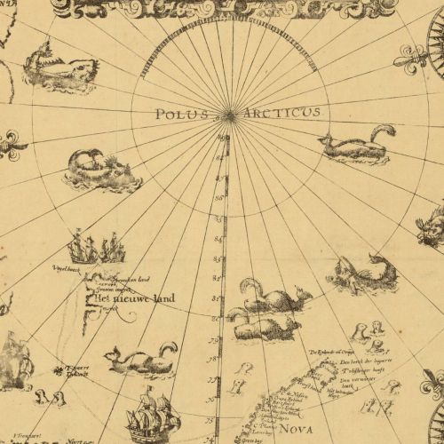
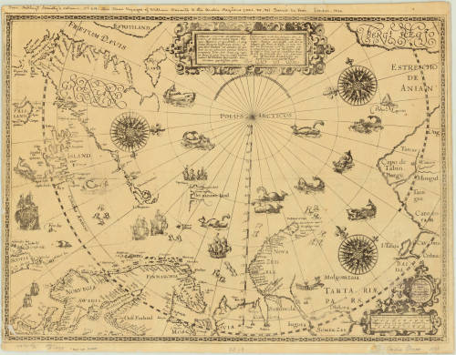
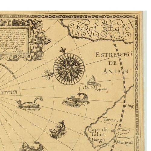
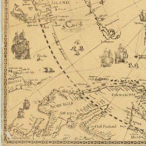
It’s #MonsterMonday!This map, Polus Arcticus, inspired by William Barents’ three voyages to the Arctic regions in 1594, 1595, and 1596, was made by Gerrit de Veer in 1598. This version was published by the Hakluyt Society in 1876. The map includes illustrations and notes and was removed from: The Three Voyages of William Barents to the Arctic Regions, (1594, 1595, and 1596). The first edition was edited by Charles T. Beke, and printed for the Hakluyt Society in 1876. One of the chapters of the book is entitled “True portraiture of our boats and how we nearly got into trouble.” 061 A-1598 1876 -- source link
Tumblr Blog : agslibrary.tumblr.com
#polus arcticus#monster monday#hakluyt society#voyages#expeditions#arctic#arctic exploration#uwmdistcoll


