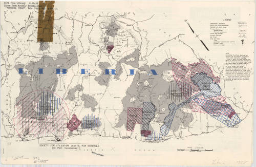
This map of Liberia comes from “Liberia Today,” a publication made by the United St
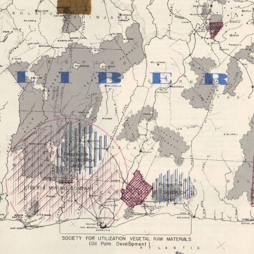
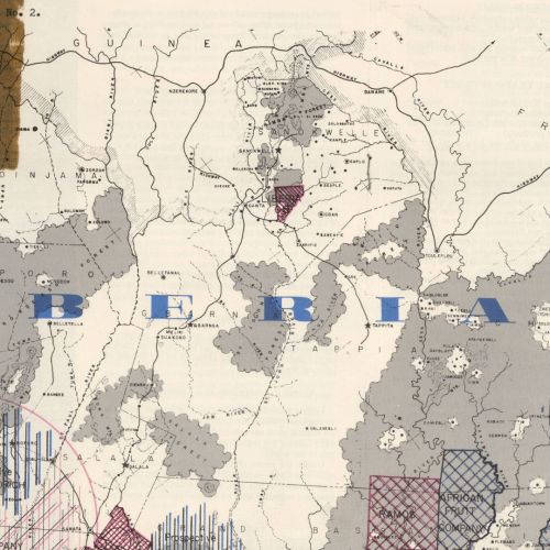
This map of Liberia comes from “Liberia Today,” a publication made by the United States Embassy in Liberia in 1955. This issue of the publication Vol. 4, No. 2. The map’s Note shared that: “Areas in which water courses are shown by continuous lines are mapped from the U.S. Army’s aerial survey “Casey Jones” and where shown by broken lines are taken from reconnaissance maps by De Groot, Harley, and Mellish.” The Note section fails to mention the coloration of the business sections of the map. 326 E-1955 -- source link
Tumblr Blog : agslibrary.tumblr.com
#liberia#liberia today#periodicals#embassy#africa#uwmdistcoll


